
Reynoldsburg Postal ZIP Coverage
The documented postal starting point is 43068. It is served by the Reynoldsburg Post Office, but an address using that ZIP can be in Franklin, Fairfield, or Licking County for property and other public records. A separate 43069 reference appears in the research as Reynoldsburg-associated, yet a current public USPS source did not establish its boundary or exact postal role. Treat 43069 as an address-level verification question, not as a named area or a broad postal zone.
| ZIP | Areas Covered | Post Office | Notes |
|---|---|---|---|
| 43068 | Reynoldsburg postal addresses, verified address by address | Reynoldsburg Post Office | County records can be Franklin, Fairfield, or Licking. |
| 43069 | Reynoldsburg-associated reference only | Not confirmed by a current public USPS source | Do not assign a neighborhood, boundary, or role without full-address verification. |
The USPS Reynoldsburg Post Office record identifies the office serving the verified 43068 postal starting point.
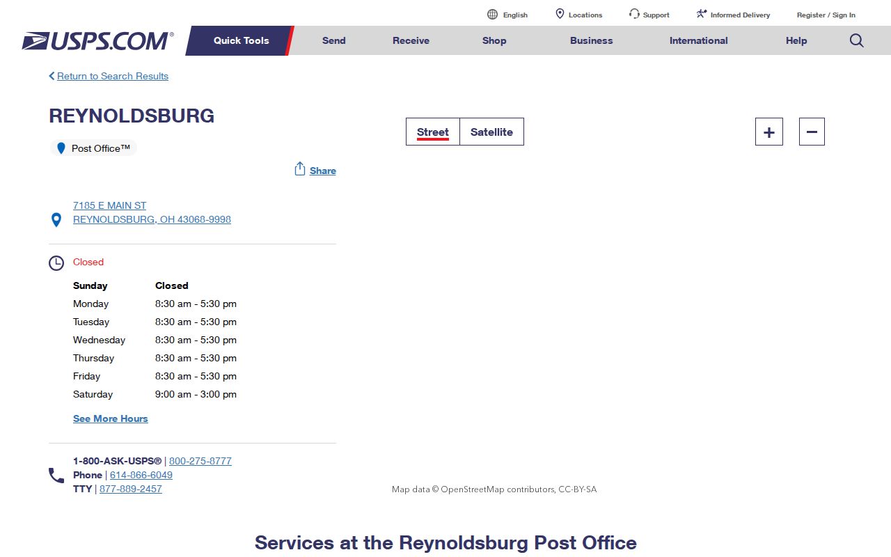
The location record lists Reynoldsburg Post Office at 7185 E. Main St., Reynoldsburg, OH 43068-9998, with phone 614-866-6049. It confirms the office and ZIP, not the county custodian for a particular address.
Reynoldsburg 43068 Postal Record
Use 43068 as a postal clue, then verify the full delivery address before drawing a record conclusion. The City of Reynoldsburg spans three counties, and its own GIS combines city address points with Franklin, Fairfield, and Licking parcel layers. The same five-digit ZIP can therefore appear with different auditor, recorder, court, and election jurisdictions. A parcel map or address search identifies the county that actually holds the public record.
The distinction matters when a property card, recorded instrument, or voter registration check is needed. The postal city tells a mail story. The physical parcel and county route a records search. Keeping those roles separate is the central local fact behind a postal lookup.
For the Franklin portion, the Auditor offers address, owner, and parcel routes before a Recorder search. Fairfield’s real-estate record separates the deeded-owner and taxpayer-address fields, while Licking’s parcel viewer accepts an address, owner name, or Auditor PIN. Those systems are county-specific even when the mailing line says Reynoldsburg 43068. A court or Probate inquiry follows the same logic: first identify the physical address county, then select the relevant county office. This extra routing step prevents a valid postal answer from being mistaken for the correct records custodian.
USPS Confirms Reynoldsburg ZIPs
The USPS address lookup is the right source for an address-level postal answer. Enter the full delivery address rather than relying on a community name, a map outline, or a remembered ZIP. That check should come before selecting a county portal. A ZIP result does not replace the parcel search, but it prevents a search from beginning with an unverified postal label.
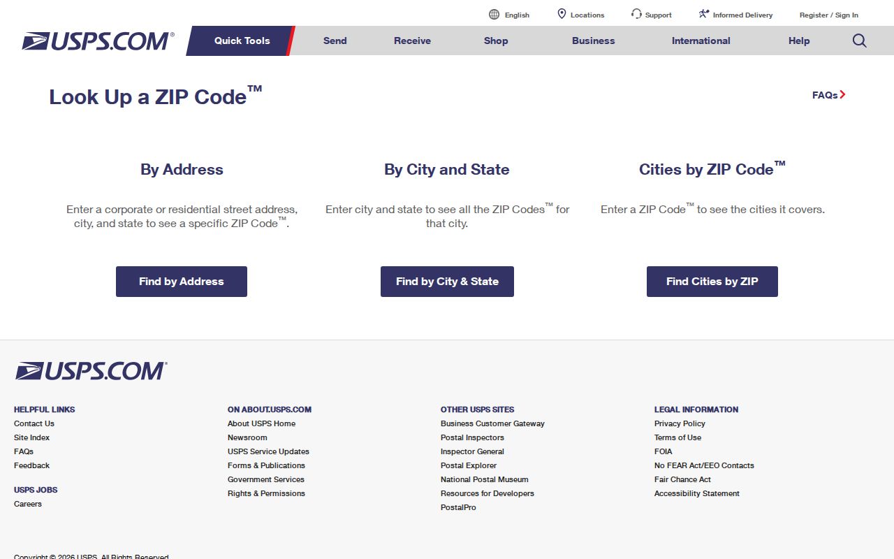
The USPS lookup is built for the delivery-address question. Follow it with City GIS or a county auditor tool when the question shifts from mail routing to parcel, tax, deed, or court custody.
Note: A full-address USPS result is more precise than a postal-place label, but it does not define city limits or county boundaries.
43069 Needs Address Confirmation
Research found that 43069 is associated with Reynoldsburg and may be described elsewhere as a unique or business ZIP. It did not find a current public USPS source confirming a delivery boundary, a single addressee, or a wider public role. Do not turn that gap into a map claim. Run the full address through USPS, retain the exact returned postal form, and then identify the county parcel independently.
This is a practical limit, not a dead end. A careful result can state that the address has been verified through USPS while leaving an unconfirmed ZIP role unclaimed. That is more useful than applying a label to every Reynoldsburg address with a similar postal name.
Reynoldsburg ZIP Search Steps
None of the three county property portals has a confirmed ZIP-wide owner filter in the research. The best workflow uses a ZIP to confirm a delivery address, then moves to street, parcel, and county tools. This avoids reporting a postal result as if it were a complete list of records within one postal area.
- Verify the complete delivery address through USPS and save the returned ZIP and city form.
- Use the Reynoldsburg City GIS to identify the county and the correct parcel layer.
- Search the correct county auditor by street address, parcel, PIN, or owner format accepted by that county.
- Read the parcel card for situs, mailing, legal-description, and transfer fields, keeping each label separate.
- Use the county recorder or an appropriately limited city request only after the parcel supplies the necessary party, legal, or instrument clue.
When the ZIP has narrowed the task to a particular road or parcel, use the Reynoldsburg Street Directory for the address-led record chain. A postal result does not substitute for that street-level review.
Reynoldsburg Parcel Search Fields
County portals use different fields after the USPS step. Franklin begins with a street number, direction, street name without a suffix, and unit. Fairfield separates house number, direction abbreviation, street name, and street-type abbreviation. Licking uses one search field that accepts the beginning of an abbreviated address, an owner in lastname, firstname form, or an Auditor PIN, which is the county property identifier. These are useful property-search fields, not postal filters.
| County portal | Address or parcel fields | ZIP limitation |
|---|---|---|
| Franklin Auditor | Street No, Direction, Street Name without suffix, Unit; owner or Parcel ID alternatives | No confirmed ZIP owner filter. |
| Fairfield Auditor | House #, Direction, Street Name, Street Type; owner, parcel, location, and advanced fields | Location choices include city, township, neighborhood, and subdivision, not a listed ZIP field. |
| Licking Parcel Viewer | Beginning of abbreviated address, owner name, or Auditor PIN | No confirmed ZIP filter; use parcel results after county selection. |
Those different field designs are why a ZIP cannot promise one ZIP-wide property result. Address and parcel search remain the reliable bridge to the relevant county record.
Franklin’s address route accepts wildcard searching but warns that a query can return up to 500 records. Its parcel route accepts all or part of a Parcel ID without dashes. Licking requires an address search to begin at the start of the abbreviated address and asks the user to select a suggested result. Those small interface differences matter when a USPS result is correct but a county portal initially returns no match.
Reynoldsburg ZIPs Do Not Pick Counties
Reynoldsburg began in Franklin County, expanded east into Licking County, and expanded south into Fairfield County. That geography is more important for records work than a postal place name. A postal ZIP cannot choose the correct recorder, auditor, probate office, court, or board of elections. Start with City GIS or an auditor address search, then use the county that contains the physical address.
Historic research needs the same care. City development material includes Truro and Etna or Licking annexation references, but present municipal boundaries should not be applied backward. For an older parcel, use the historic jurisdiction, parcel description, and dated record path. The postal answer and the record-custody answer can be different without either one being wrong.
Note: Select a county from the physical parcel before requesting a deed, a court file, or an election record for a Reynoldsburg address.
Reynoldsburg City Limits and ZIPs
ZIP boundaries and city limits answer different questions. The U.S. Census explains that a ZIP is a USPS delivery route, while a ZCTA is the Census Bureau’s statistical approximation. A ZCTA or post-office boundary should never be substituted for a Reynoldsburg city limit or one of its county boundaries. City GIS and the county parcel record remain the local boundary tools.
- ZIP code
- A USPS delivery designation used to route mail. It does not select a county record custodian.
- ZCTA
- A Census statistical area built to approximate ZIP geography. It is not a USPS delivery boundary.
- PO Box ZIP
- A ZIP used for post-office box delivery rather than a general street-delivery area.
- Unique ZIP
- A USPS designation that can be assigned for a single high-volume addressee. Research did not confirm that role for 43069.
The Census ZIP and ZCTA guidance explains the distinction between the postal and statistical terms.
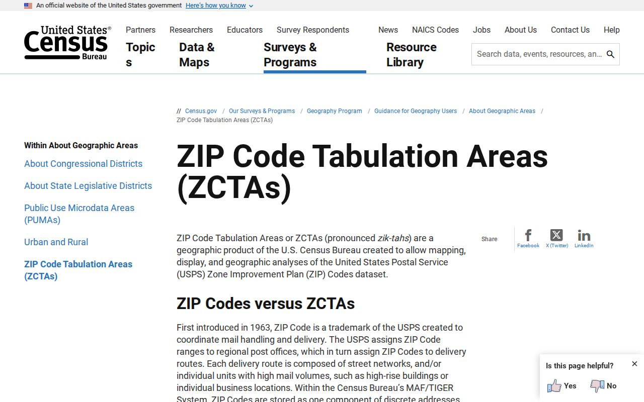
For a local address, use the Census explanation to avoid a category error, then return to USPS and the correct county parcel source for the actual verification task.
Reynoldsburg ZIP Address Labels
Property cards can contain several address-like fields after a ZIP has been confirmed. The situs or site address is the physical parcel. A mailing or tax address is where correspondence goes. A legal description identifies the land in the recorded system. Fairfield’s card explicitly distinguishes Deeded Owner Address from Tax Payer Address, and the Licking schema documents separate assessor, situs, mailing, legal, tax, transfer, and improvement categories.
Keep those labels in a search note. A mailing field can be relevant to tax correspondence, but it is not the same fact as the site address. The public record becomes more reliable when the ZIP, parcel, legal description, and county are all recorded as separate pieces of information.
Reynoldsburg Historic ZIP Context
Historic addresses predate the present postal and municipal pattern. The 1872 Franklin County atlas records the older town plat with Main or National Road, Broad, South, Ash, Jackson, and Lancaster Streets. Reynoldsburg-Truro Historical Society material adds one documented translation: the 1939 directory’s Broad Street is now Broadwyn. Use those details to interpret an old address, not to assign a modern ZIP to it.
The careful route is historic street or legal description, then parcel history, then the appropriate county recorder or archive. No broad Reynoldsburg street-renumbering crosswalk was found, so a current ZIP should not be projected onto an older record without a dated map or parcel link.