
Reynoldsburg Neighbors by Parcel
A block lookup is a parcel workflow. The City’s GIS can locate the address and direct the search toward the Franklin, Fairfield, or Licking layer. The county Auditor map identifies surrounding parcels, and the Recorder can confirm a recorded instrument using the proper party, legal-description, parcel, or document route. These sources can illuminate the properties around an address. They do not turn a parcel map into a household-membership list.
| Source | Shows About a Block | Access |
|---|---|---|
| City GIS locator | Address location and county layer choices | Three-county locating tool; verify in county records |
| Franklin Parcel Viewer | Subject parcel and spatially selected nearby parcels | Map selection, buffer, and CSV export |
| Licking Tax Parcel Viewer | Address, owner, or PIN search plus buffered parcels | Map, report, and CSV controls |
| Fairfield Auditor | Parcel location, deeded owner, taxpayer, sales, legal, and permit fields | Address, parcel, map, and Recorder handoff |
| County Recorder | Recorded party, instrument, legal, and date facts | Correct county index, image, counter, or archive |
| Community organizations | Participation and contact channels | Consent-based activity, not a public roster |
The distinction between owner and occupant should stay visible at every step. Tax correspondence and mailing data are not automatic proof of who lives in a home. Unlisted occupants, household composition, utility customers, and delivery recipients are not established by a public parcel card.
Locate Reynoldsburg Neighbors First
Reynoldsburg’s public-record geography crosses Franklin, Fairfield, and Licking Counties. Start with the City’s three-county GIS locator or a county parcel search. The City GIS is a locator, not title or occupancy authority. Once the parcel and county are clear, use that county’s Auditor and Recorder. This avoids using a Franklin buffer or Recorder result for a nearby address that actually lies in Fairfield or Licking.
County selection is also an evidence check. A street can cross boundaries as the city expanded. Keep the physical address, county, parcel identifier, and source date with each observation. The postal name Reynoldsburg does not supply those facts on its own.
Franklin Buffer for Reynoldsburg Neighbors
For a Franklin County subject parcel, the Franklin Parcel Viewer documents a specific spatial method. Select the base parcel, choose By Spatial, enter a distance, select Apply Buffer, then select parcels inside or intersecting the buffer. The selected result can be exported to CSV, and individual parcels can be opened for property records. This is a more defensible way to examine a small radius than trying to infer an entire block from a name search.
- Find and select the subject parcel after confirming that the address lies in Franklin County.
- Choose the By Spatial control and enter a modest distance that matches the block question.
- Use Apply Buffer, then choose inside or intersecting based on the desired parcel relationship.
- Open or export the selected parcels, preserving their parcel identifiers and map context.
- Verify a recorded ownership question through the Recorder’s document and legal-description route.
The Franklin Recorder Property Alert is a separate optional notice for documents recorded under a monitored name. It is not a neighborhood search or ownership proof.
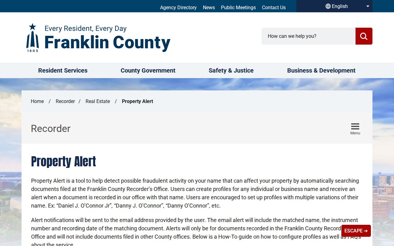
The property-alert image helps separate two tools with different roles. A buffer maps nearby parcels, while an alert reports matching Recorder filings for a name and should be checked against the document itself.
Licking Tools for Reynoldsburg Neighbors
Licking County’s Tax Parcel Viewer accepts an address, an owner name in `LastName, FirstName` form, or an Auditor PIN. Addresses must begin with the address and use abbreviations, while PIN searches accept the documented formats. After selecting a result, enter a buffer distance in feet, run Buffer, and use the report or CSV controls for the affected parcels. The map result should be verified through the Recorder when the question involves recorded title.
The Licking GIS data is reference material, not a legal survey or legal property description. A parcel report can supply an Auditor PIN, map position, owner field, situs location, and report availability. It does not identify every neighbor, nor does it replace the recorded plat or deed.
Note: Fairfield’s property portal has parcel and map functions, but the research did not confirm an equivalent live buffer control. Do not assume one exists.
What Reynoldsburg Neighbor Parcels Prove
A nearby parcel result can show the parcel’s spatial relationship and fields published by the Auditor. A Recorder document can show a grantor, grantee, instrument type, legal description, and recording date. Those are useful public facts, but each has a narrow meaning. A recorded party is tied to a document event. A deeded owner or tax correspondence field must remain labeled exactly as displayed. Neither establishes current household membership.
For an address-by-address chain along a full named street, the Reynoldsburg street directory lookup uses the broader Auditor, Recorder, and historical-address path. The neighbors workflow remains focused on the immediate parcel radius and community layer.
Reynoldsburg Community Contacts
Community organizations provide ways to participate, but the research found no verified City-maintained association roster or public resident directory. The City’s Neighborhood Watch program describes groups of interested residents with a captain and social communication options. The Reynoldsburg Community Association provides a meeting and contact route. Slate Ridge has association resources within its mapped area. Those are community channels, not sources for publishing or reconstructing member lists.
Neighborhood Watch
City Neighborhood Watch supports interested residents, a captain, and communication through social platforms. It does not publish a resident roster.
Community Association
Reynoldsburg Community Association meets at 6:30 p.m. on second Thursdays at Messiah Lutheran Church, 1200 S. Waggoner Road. Contact: PO Box 73, Reynoldsburg 43068, 614-549-0910, info@reynoldsburgcommunityassociation.org.
Slate Ridge
Slate Ridge Association applies only within its map. Its member directory is an association function, not a public neighbor-search resource.
The City Neighborhood Watch page is the source for the program overview.
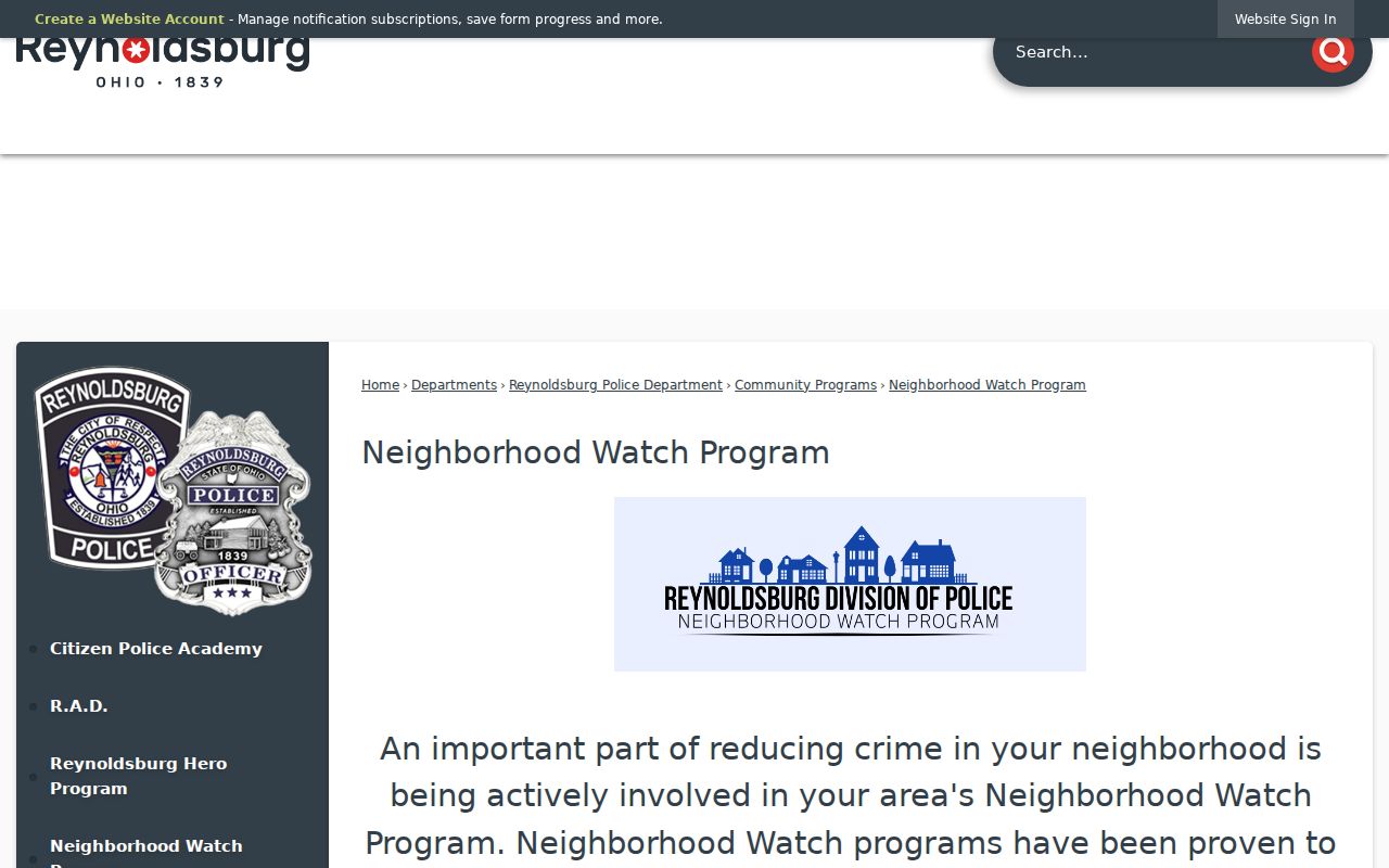
The Neighborhood Watch image shows a participation route, not an address directory. Contact a program or association directly when a community activity is the goal.
The Community Association site supplies the organization’s public contact information.
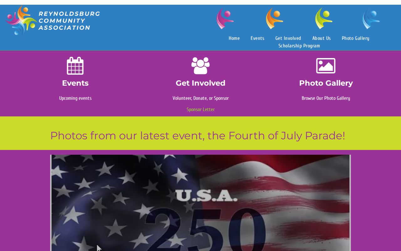
The association image supports a direct contact approach. It does not establish membership or provide a public household list.
The Slate Ridge Association resource describes the association layer for the area it serves.
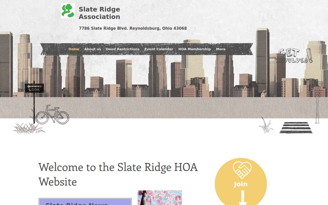
The Slate Ridge image reinforces the geographic limit. An association boundary and a city boundary are not interchangeable.
Reynoldsburg Neighbor Voter Data Limits
Ohio’s voter registration system has both public and withheld fields. The state registration check requires a name and county, and it is not a block roster. R.C. 3503.13 protects items including Social Security information, driver credentials, phone and email data, Safe at Home records, and other protected material. County boards may provide public records through their legal procedures, but data access should not be used to build or distribute a list of people around a block.
Safe at Home participants can use confidential election records with a program identifier instead of a residence or precinct in public lists. The program boundary applies even when a parcel exists on a map. Voter status is also not a historical residence timeline, because inactivity and cancellation procedures affect the current record.
The Ohio personal-information redaction law, R.C. 149.45, describes a defined online-redaction request route for qualifying public-service workers.
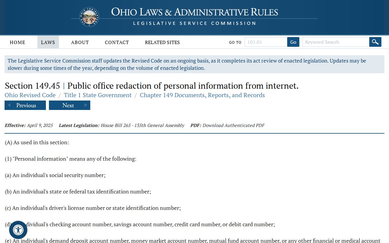
The redaction-law image underscores that public records have legal limits. It is not a universal deletion right, and it does not erase every historical Recorder or court reference.
Reynoldsburg Neighbor Record Tools
Official sources show the records they keep, with a date, custodian, and stated scope. Commercial neighbor-search products combine varied public, online, and other inputs. Their results may be stale, merged, or missing a county boundary, and their own correction or removal practices do not revise an underlying government record. A parcel result is still best checked in the county system that created it.
| Source type | Useful for | Key limit |
|---|---|---|
| County Auditor and GIS | Parcel location, map relation, and recorded property fields | Does not prove household membership |
| County Recorder | Recorded document parties, legal description, and date | Document role is not a current-residence claim |
| Community organization | Participation and public contact information | No verified public member roster |
| Commercial address products | Broad leads that require independent checking | Scope, currency, and matching method may be unclear |
Use the county office or association that holds the source when a correction is needed. Do not ask a map or third-party product to settle a title, household, or legal-boundary question beyond its authority.
Privacy Limits for Reynoldsburg Neighbors
Neighbors are not defined by a parcel map alone. Household members, unlisted occupants, protected residents, utility data, delivery information, and restricted motor-vehicle records are not made public simply because an address is visible. Public records may also be delayed, incomplete, or corrected by their custodian. Use the records to understand the specific public property or civic question, then stop at the boundary of protected personal information.
Lawful use. Use Reynoldsburg neighbor information for personal safety, civic curiosity, community participation, and lawful property research. Never use it to watch, stalk, harass, intimidate, or harm another person.
Note: the county parcel is the starting unit for a block search, while a household remains a separate and often private category.